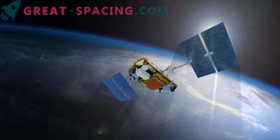
In 2010, the Norwegian Space Center launched the nano-satellite AISSat-1 to demonstrate the detection of AIS signals supported by the ESA GSTP and Prodex programs
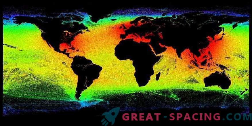
The European Space Agency (ESA) helped coastal authorities track up to 70% of ships and receive almost three times more information about locations via satellite.
Large cargo and passenger ships must possess the equipment of an automatic identification system. The device transmits information about the course, speed and position of the vessel. It was originally created to prevent collisions. Now he also tracks ships to avoid contamination and assist in the transport of dangerous goods.
The Norwegian Coastal Administration uses data to manage the national coast and waters. Enhanced receivers launched onboard two NorSat satellites last year. During the first 4 months of operation, the receivers significantly improved the detection of identification signals. Satellites increase the visibility range of the message from 74 km at sea level to 2500 km from low orbit.
In areas with heavy sea traffic, the number of messages from ships can be so high that they disable the satellite receiver. To correct this problem, they invented a new type of messages.
The advanced receiver was developed using the latest components. Comprehensive hardware provides more sophisticated software processing, which greatly improves the collection of messages.
The payload is in two micro-satellites. The total number of messages usually reaches 2.5 million per day.

