A new map of the surface of Antarctica is so detailed that it is possible to visually follow the faults in the ice ridges curved on the Antarctic Peninsula. The researchers created this amazing topographic map from high-resolution photographs that were collected over a period of 6 years by a group of satellites rotating hundreds of miles above the earth’s surface. It processed a million shots using one of the largest supercomputers in the world - REMA.
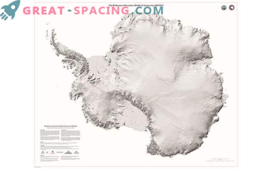
The model reference height of Antarctica ( REMA) shows the continent in stunning detail
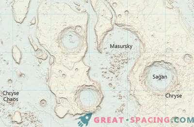
Early maps of the ice continent were produced with a resolution of more than 1000 m, but the new one provides an indicator of 8 m and covers 14 million km 2, due to which it is becoming the most accurate map of Antarctica today. It is important to note that up to this point even the map of Mars seemed more detailed than the native continent.
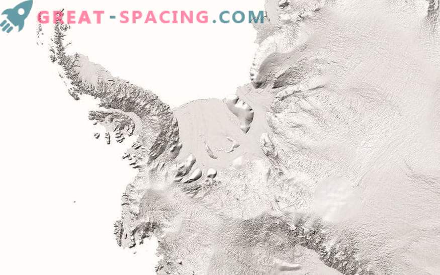
Researchers used one of the fastest supercomputers in the world to process millions of shots and create a new map
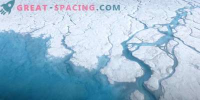
Now, the height of each ice cliff and rocky outcrops are easily within reach of scientists and accurate to a few feet. It turns out that the researchers were able to track changes in snow cover, movement of ice and rivers, as well as the actions of floods and volcanoes. The file covers 150 terabytes of data that will help visualize the effects of warming on the landscape of Antarctica. Map posted online September 4, representatives of the University of Minnesota.
