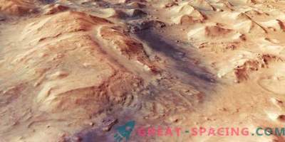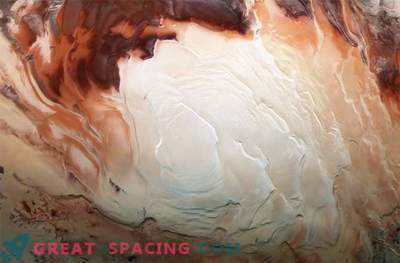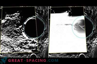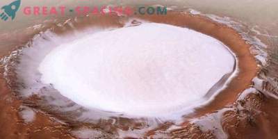
This amazing inverted image was made by Mars Express during the calibration period of the camera, when the device flew over the North Pole (below) and the equator (above)
How to navigate in space? Usually the planets are shown with a north pole at the top and a south pole at the bottom. But in this magnificent photograph, obtained by Mars Express, the north is located at the bottom, and the equatorial line is on top.
The image was made on June 19 to calibrate the camera with high resolution, and the device itself moved from north to south. Nine channels were sent to the planet to display a large area with the same lighting conditions. At the same time, the camera was shifted to the horizon, and not simply directed to the surface, as is usually done.
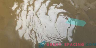
As a result, it was possible to get a rare wide-angle planetary view with an illuminated horizon near the equator (above) and a shaded north pole (below). At the beginning of the spring period, the polar cap consisted of water ice and dust. Winter carbon monoxide has already evaporated and has moved from a solid form to a gas state. Water ice repeats the same, releasing a huge amount of water into the atmospheric layer.
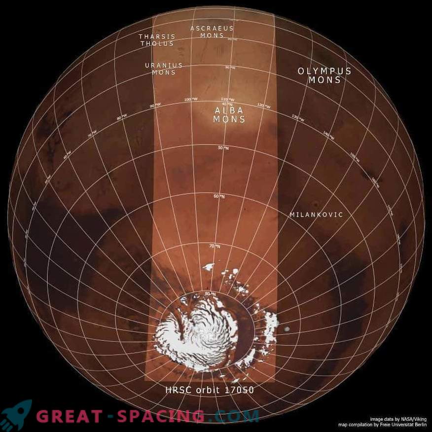
This is the base map of the Viking mission. It demonstrates the setting of related images (central oval). A series of volcanoes located outside the main frame.
The panorama in the south has some of the largest planetary volcanoes in the territory of Tarsis. It rises 5 km above the average latitude of the planet, and volcanoes reach 10-22 km. Mount Olympus is located out of sight, because of which in the center rises Alba with a diameter of 1000 km.
Noticeable parallel linear patterns, whose formation is associated with the tectonic stresses of the convexity of Tarsis. As the magma accumulated in the first billions of years, the crust stretched. Later, faults occurred due to subsidence.
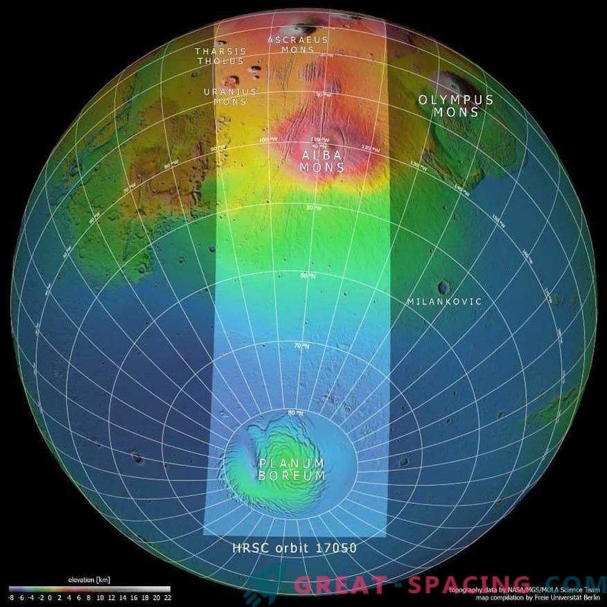
Here are combined images, highlighting a common area (central oval). The colors represent the height of the landscape: purple and blue are the lowest areas, and red, brown and white are high
A few dozen kilometers from the horizon, you can see thin cloud layers. It was possible to display the volcanoes Uranus, the Kernavsky dome and the Tarsis Dome. In diameter, stretched for 60-150 km, and height - 5-8 km.

