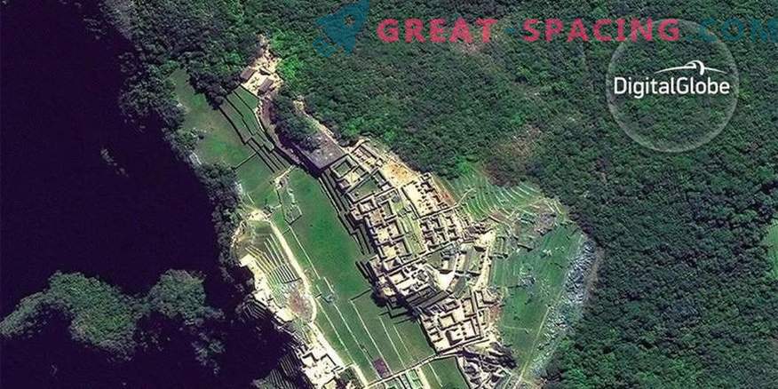
A new crowdsourcing project aims to use satellite images of archaeological objects to track looting, and give users hope in times of social upheaval.
The new website wants you to help archaeologists protect thousands of valuable monuments around the world from looting and other forms of human intervention.
GlobalXplorer allows users to search hundreds of thousands of DigitalGlobe satellite images in Peru, noting signs of robbery or illegal construction. Or even look for unique places hidden under dense clouds. You can manage photos that highlight (or disguise) vegetation. All this is necessary for practice. As soon as you increase your level, you will open the exclusive materials, namely video or Google Hangouts.
Archaeologist Sarah Parsac of the University of Alabama funded the platform, using $ 1 million from a TED win (non-profit organization). Galaxy Zoo was also on the platform - a project that allows the public and scientists to classify types of galaxies from images from the Sloan digital celestial survey. “Usually we have super users for such platforms,” she said during a press conference on Monday. Since they are faced with large-scale work, the goal of GlobalXplorer was to increase the number of users, as well as to improve the quality of the process in order to get rid of boredom and other deterring factors.
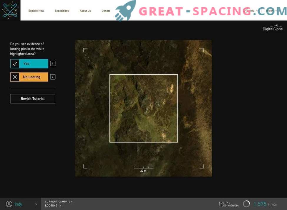
The “Explore” screen on the platform. DigitalGlobe has provided 200,000 square kilometers of satellite images of Peru, broken into tiles, the size of several city blocks
Parsak does not yet know how successful the initiative will be, because it is done for the first time Peru was chosen as the first country because of its archaeological wealth (the most famous object is Machu Picchu), and also because its government is open to alternative ways to explore the terrain, for example, using unmanned aerial vehicles. A second country may be added later this year.
If everything goes well, users will identify places of interest from an archaeological point of view, in order to continue to hold consultations at UNESCO and the Ministry of Peruvian culture about them. To prevent incidents of robbery, all location data must be cut from the GPS, as well as from each satellite image. The site is also available in Spanish to encourage young Peruvians to take part and keep them from being robbed. Archaeologists and users will get real-time access using Periscope, YouTube videos or through blog posts. The project should save time, since viewing all photos is a laborious process. She also added that this technology must overcome the “despair and fear” that appeared after turning in the US immigration policy.
“Throughout our lives, we have experienced climate change, economic crises, wars, diseases. All these things have already happened, ”she says. - “You see it again and again, just look at the history, get acquainted with the cultures left. Archeology reveals an important idea - human beings are endowed with endurance, and we will survive any problems. Therefore, in our hands hope for the future. ”


