Images obtained by satellites and spacecraft help to get the perspective of large images, in particular cities.
Shanghai, China
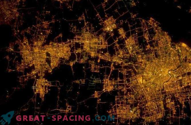
The photo above shows the most populous city on earth: Shanghai, as seen at night from the International Space Station.
Sfax, Tunisia

Large radial main streets in the second largest city of Tunisia, Sfax, lead back to the ancient settlement, located behind the wall. The colorful rectangles below are ponds in which sea water is being dried.
Green Bay, WI

This photograph of Green Bay, Wisconsin, was taken in February 2014. The image shows the city in typical winter conditions. The open water at the mouth of the Fox River indicates the location of warm water emissions from a nearby power plant.
London, United Kingdom

The chaotic sprawl of London shows how the city was gradually built, beginning in the first century AD, around the bends of the River Thames. Many parks and green spaces are evidence of modern urban design - Londoners can walk for miles and miles through the grass and trails.
Manhattan, New York

This close-up image shows Manhattan Island in New York, where you can observe an ordered layout of a grid of streets and avenues of the city. The city has a strict development plan, established by law in 1811.
Beijing, China

Beijing is the capital of China, which is one of the oldest and most densely populated cities in the world. Pseudo-colored images show population growth between 1978 and 2011.
Sydney, Australia

The coastline of the city of Sydney, Australia, is home to more than 4 million people. In addition to its coastline, Sydney is surrounded on all sides by national parks and reserves, as a result of dense urban development. The stripes of land at the bottom of the image are the runways of Sydney Airport.
Karachi, Pakistan
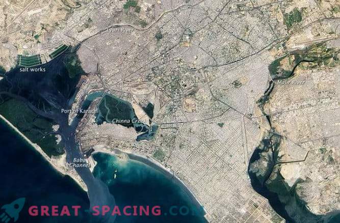
The second largest city in the world in terms of population, Karachi is estimated to be home to 23.5 million people. The central part of the city is an old district with narrow streets. The outer part of the city was largely developed in the 19th century.
Istanbul, Turkey

The transcontinental city of Istanbul is located between Europe and Asia in the Bosphorus Strait. In this pseudo-color image of 2011, you can observe urban areas shaded in gray and densely populated areas painted in red. The expansion of the city of Istanbul has largely occurred in the last 50 years.


