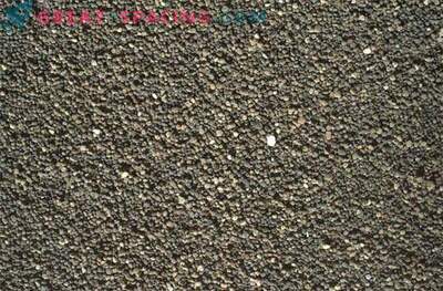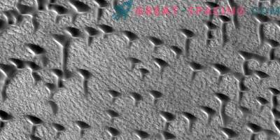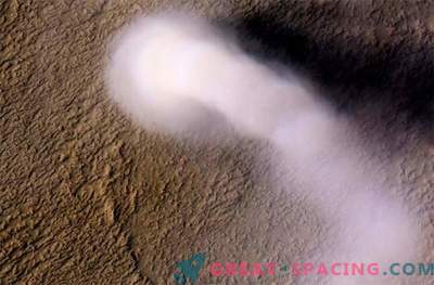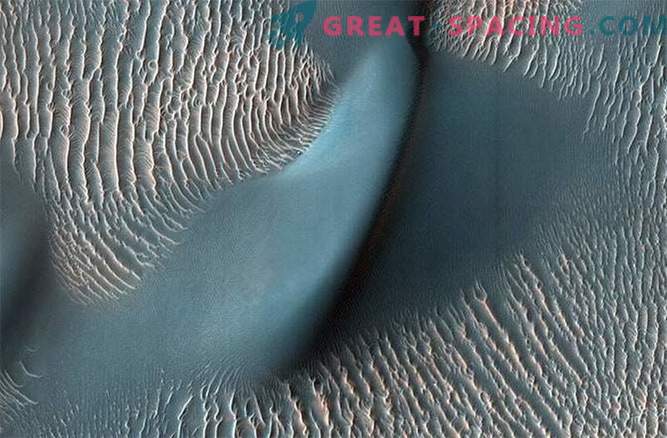
This shot from the HiRISE telescope shows two types of air channel in the Proctor crater. Those with relatively clear, small ridges are ripples. From their study with the help of rovers, we know that the ripples consist of fine sand (less than 200 microns in diameter) or fine sand covered with harder sand and its granules.
In Matt Damon’s film The Martian of the wind Mars is depicted as severe, ruthless hurricanes that will give odds to any earthly storm. In reality, the nature of the winds of the Red Planet is much softer. They form the landscape of the surface slowly over a long period of time.
But there are still many mysteries, mainly related to how winds affect small structures and how the presence of a person on the surface can change these winds.
Despite the fact that previous missions to Mars were able to capture the vast fields of dunes and watch how the prevailing winds slowly change and form them, only when in 2006 an automatic interplanetary station turned out to be in Mars orbit, we were able to obtain materials on individual dunes of very high permissions. With such high-quality equipment, scientists studying Mars were able to take pictures of individual dunes with a long exposure, and even get images of individual details of a particular dune. Thus, they tracked changes and collected information about the nature of winds on Mars. “I’ve always wondered how the wind blows on Mars,” says Mary Bourke of Trinity College School of Natural Sciences in Dublin. “Of course, we don’t have meteorological stations there that would collect information for a long time to help me find the answer to this question, so we had to use the form of dunes or the length of sandy stripes to study wind flow before. We still lack many important details. ”
Understanding the movement of winds on Mars is not only of academic interest in how sand dunes form in another world. Since NASA is investing more and more power in exploring Mars, we need to know as much as possible about the Martian atmosphere, namely, to improve our understanding of what types of short-term and long-term weather periods exist and how they will affect future landing of robots and humans on the surface of the Red Planet.
Using data from the HiRISE telescope placed aboard the MRO spacecraft, comparing the characteristics of the Martian surface with the behavior of sand dunes found in Northern Ireland on the McGliegan peninsula, the Mary Burke team was able to create a 3D map of the Martian winds. On this model, for the first time, researchers were able to see how big dunes change wind flows. This study not only helps to study the prevailing wind direction, but also how the landscape of Mars formed by the dunes can direct or redirect the wind even at the smallest level. In other words, we are talking about the level at which winds will affect the rovers and even astronauts who have landed on the dusty surface of the planet. We are also talking about the level that may be affected by the constant presence of humans on Mars. For example, if a building is erected in this wind-driven world, or if a spacecraft destroys a dune when landing, how will the picture of the winds change?
“We worked with information obtained from the Proctor crater area on the southern elevations of Mars, and found that the ripples in the dunes move about one and a half meters a year,” Burk says. “This is a much more accurate result than we had before - now we have much more reason to judge how the Martian landscape was formed, and how it will change when spacecraft invade it in the future.”
Information about this terrific study was posted in the journal Nature Geoschience.
