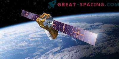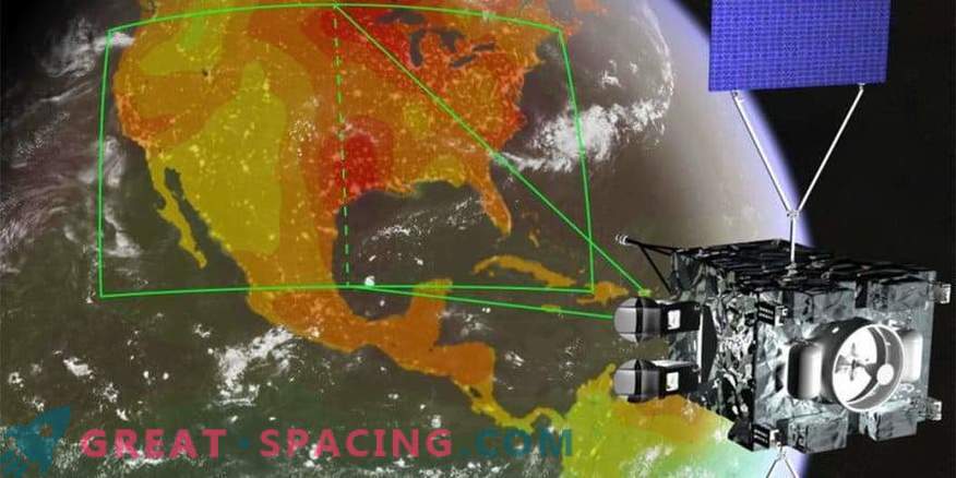
An artistic vision of the concept of NASA’s GeoCarb mission, which is about to display concentrations of key carbon gases over America from the geostationary orbit
The new scientific mission of NASA in the early design stages is capable of providing transformational progress in our understanding of the global carbon cycle by mapping the concentrations of the main carbon gases from the geostationary orbit.
The Geostationary Carbon Observatory (GeoCarb) is set to start in the 2020s. It is based on the successful mission of the CCA-2. It is planned that the device will monitor America between 55 degrees north and south latitude. At an altitude of 35,800 km, GeoCarb will be able to receive 10 million daily observations of the concentrations of carbon dioxide, methane, carbon monoxide and solar fluorescence with a spatial resolution of 5-10 km.
The saturation and prevalence of carbon-containing gases in the earth's atmosphere is determined by the exchange of carbon between the earth's zones, oceans and the atmosphere, as well as their transportation by winds. These exchanges are easier to figure out if you carry out a permanent fixation.
Satellites in solar-synchronous polar orbits guarantee global girth, but there are gaps. In addition, they observe some landscapes at a specific time of day. GeoCarb will take measurements in Earth orbit, filling the voids in the data. This is rather a regional mapping mission, rather than a global sample task. GeoCarb will allow you to see how different weather conditions affect carbon dioxide and methane concentrations. The unit will also be able to answer questions in the field of carbon cycle science with a focus on America.
In addition, GeoCarb will be the first American satellite to measure methane near the earth's surface. The spectral band of oxygen will measure the faint glow emitted by chlorophyll molecules in the leaves of plants. And this is a direct tracking of the process of photosynthesis.
GeoCarb stands on the foundation of the OCO-2, created in the Jet Propulsion Laboratory (Pasadena). The technology uses a lattice spectrometer, but a fourth spectral band has been added to measure carbon monoxide and methane.
The GeoCarb tool captures reflected light from the planet through a narrow slit. When the slot is projected onto the earth's surface, it sees an area of 2,800 km from north to south and 6 km from east to west. The device monitors the area for 4 seconds, and then moves half a slot (3 km) to the west, which guarantees double sampling. This will scan the entire continent in a maximum of 2-3 hours.


