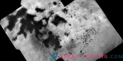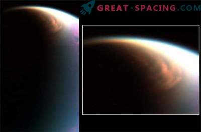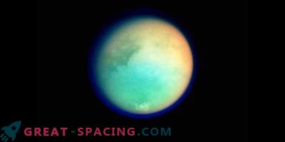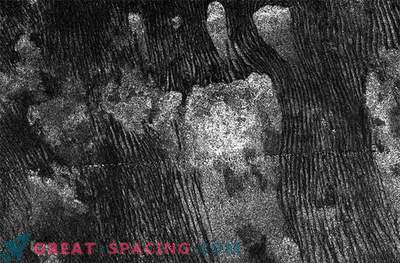
These six infrared images of Saturn's satellite Titan show one of the most vivid global views of the surface of the icy moon. The images were created on the basis of a 13-year collection of information from the VIMS instrument aboard NASA’s Cassini spacecraft. This is the result of a deliberate effort to seamlessly integrate data from many different VIMS sightings made in a wide range of lighting and viewing conditions during the Cassini mission.
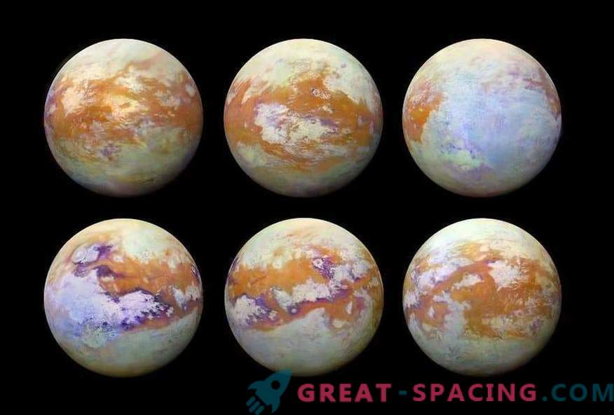
The previous maps of Titan differ in resolution parameters and illumination levels, which leads to clear seams between different surface areas. Now these seams have disappeared and you can look at how the Titan presented to a casual observer without interference in the form of a hazy atmosphere.
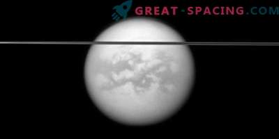
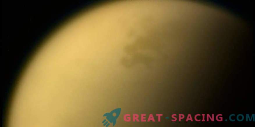
Observing the surface in visible light is difficult because of the gas mist around the moon. This is due to the fact that small particles (aerosols) in the upper atmosphere of Titan strongly disperse visible light. But the surface is much easier to visualize in several IR windows - IR wavelengths, where the scattering and absorption of light is much weaker.
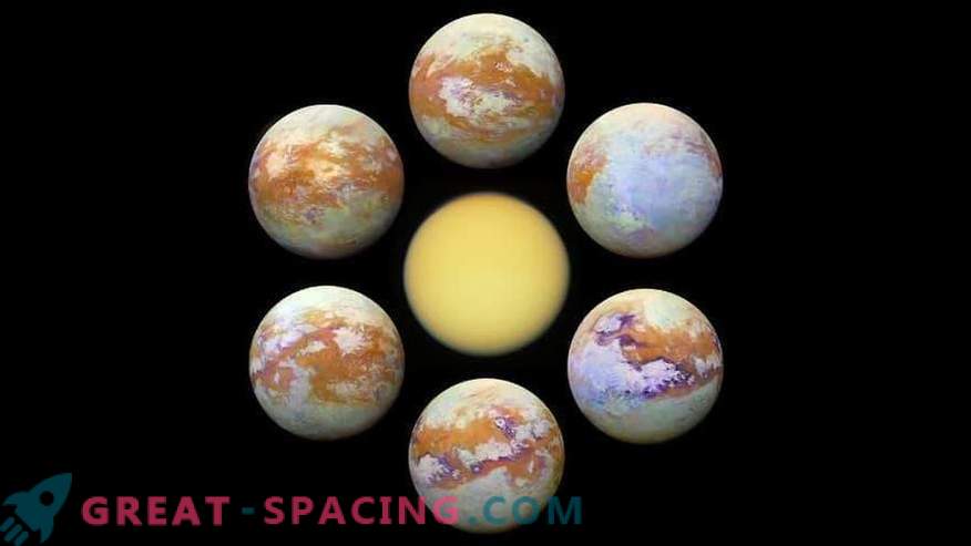
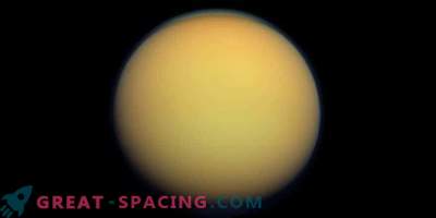
Titan in visible light
Creating a mosaic from VIMS has always seemed to be a problem, since the data was obtained on many different flights with different observation geometry and atmospheric conditions. As a result, highly visible seams were formed on the mosaics. But the painstaking work and detailed analysis of the information allowed to remove them.
The full-color image consists of three color channels: red, green and blue. The “band coefficient” method allowed reducing the level of visibility of the seams and emphasizing the subtle spectral changes in materials on the surface of Titan. For example, equatorial dune fields here are colored brown. There are also blue and purple areas that can vary in composition and can be enriched with water ice.
This review shows that Titan is endowed with a complex surface with many geological formations and composite units. The VIMS tool set the stage for future IR devices with much higher resolution.
