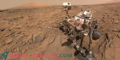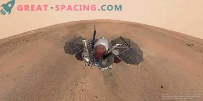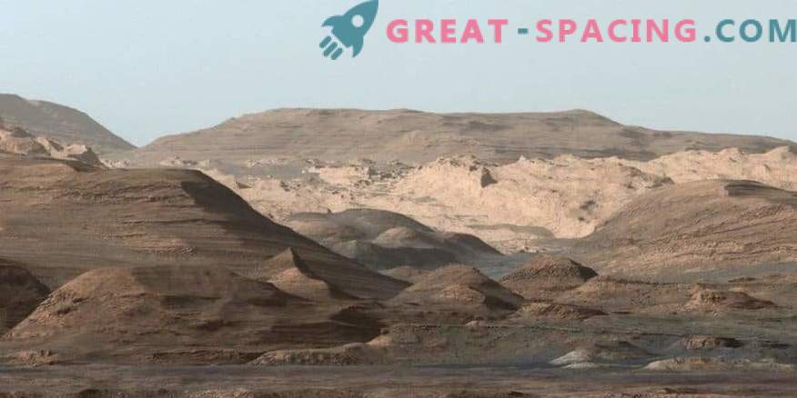
The NASA Curiosity Mars Rover received a composite image to higher areas of Mount Eolid on September 9, 2015.
The Martian rover Curiosity strained all its scientific capabilities to solve one of the mysteries of the Red Planet. Members of the mission team reworked the device’s navigation device to measure tiny changes in gravity fields.
The new strategy allowed the researchers to find out how the large Martian mountain was formed, whose base is studying Curiosity. Scientists now assume that Mount Eolid is due to layers of blown sand and sediment. That is, the wind gradually transported sand to the center of the crater, but at a certain point in history, the upper mounds collapsed.
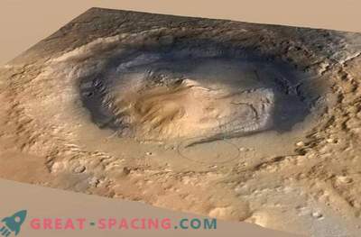
In the future, the new technology will allow to learn many interesting things in other worlds due to gravitational measurements of the surface. In August 2012, the Curiosity rover landed at the bottom of the Gail crater with a width of 154 km. The device had to study the past of the area, and the work turned out to be incredibly fruitful. Observations have shown that in the ancient past there was a system of a lake and a stream.
The crater seems interesting for other reasons. For example, the mountain rises 5.5 km into the Martian sky from its center. This is an amazing geological oddity that is not clearly visible on Earth. Scientists have long been trying to understand how the bizarre array of Aolid appeared. Is it a residue of a sedimentary structure that has filled up the Gale crater, or worn out by erosion? Perhaps the whole thing in the Martian winds, accumulated dirt and sand in a massive mound?
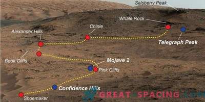
In a new study, the Curiosity team mapped the gravitational field strengths at more than 700 points along the rover's course. These gravimetric measurements made it possible to calculate the density of stones under the wheels of the apparatus - 1680 kg / m 3. This is a low level, which means we have porous rocks.
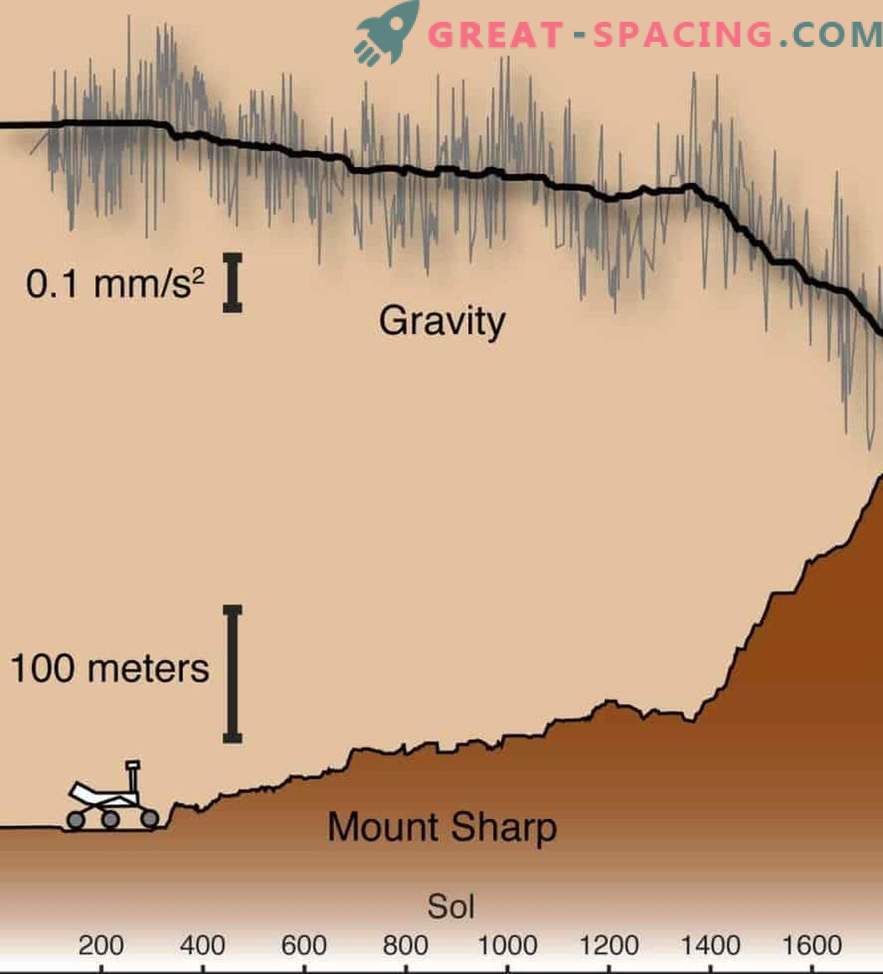
Measurements from the Curiosity rover engineered accelerometers (gray) show a decrease in gravity when climbing Mount Eolid. The rate of decrease of the simulated gravitational signal (black) made it possible to measure the density of the rocks that make up the mountain
Present the composition as compacted soil, not cemented rock. If these deposits were buried under 5 km of other sediments, the structure would be much denser. That is, new data suggests that Mount Aeolis appeared sediment transported by wind.
This does not mean that at the bottom of the crater Gail never had a lake. Moreover, Curiosity observations confirmed the existence of the reservoir in the past. It is likely that the sediments did not reach the edge of the crater. It is not yet known how high they have risen (where the transition is between lake sediments and weathered). Now there is an assumption about 800 m (judging by the records of sedimentary rocks). To accurately determine the transition, you will have to do more research and go higher. But back to the gravitational indicators. There are no special gravimetric instruments on Curiosity. Then how was the measurement possible?
Scientists thought outside the box. Curiosity has two “units of inertial change” (RIMU): main and spare. Both are represented by three accelerometers and three gyroscopes, usually used to navigate or determine the orientation of the device in space.
The team decided to try to calibrate this engineering data to collect information on gravitational fields. It turned out they showed accurate scientific information. As a result, the Curiosity team managed to create the world's first “gravitational route” on the surface of an alien planet. The only such maneuver was performed in 1972 by the Apollo 17 astronauts on the moon. Future missions to other planets can make similar measurements.

