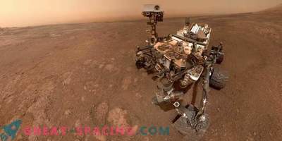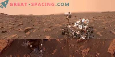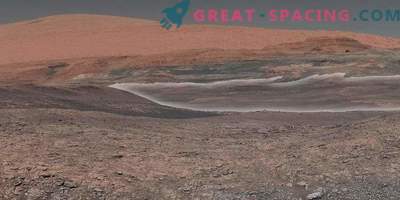
NASA's Curiosity Rover got a panoramic shot of a mountain range, providing a good overview of key sites visited since the vehicle landed in 2012.
The view from the ridge of Vera Rubin on the northern side of Mount Aolid is covered by an 18-kilometer route taken by a rover from 2012 from Gail Crater. The hill on the northern horizon is 85 km distant.
Mastcam camera received composite panorama image 3 months ago. Then the rover made a stop at the northern edge of the Vera Rubin ridge. Later, the mission approached the southern edge of the ridge and examined several sites.
Last week, the Curiosity team received a lot of new shots via the MAVEN broadcasting radio station. Mission leaders plan to resume rover training to obtain rock samples that will be analyzed with instruments inside the vehicle.
Inside the crater
Mount Eolida is in the center and occupies 154 km in diameter. Rover has been moving for 5 years, but for the first time the team managed to turn around and cover the entire path made. It can be seen as the vast plains extend to the impressive mountain range that forms the northern edge of the Gale crater. The picture was taken before the winter solstice of the northern part of the planet. The sky during this period is clear and allows you to clearly see the details. See the landing point of the rover will not work, because the place is hidden due to a slight rise. But the landscape includes the Yellowknife Bay, where in 2013 evidence was found of the freshwater lake environment.

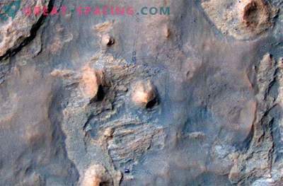
The northwestern part of Gale Crater and the landscape to the north of it, captured by Mars Express. You can consider some of the features recorded by the rover in October 2017
Along the route points marked Kimberley and Murray Buttes. Mastcam shot a wider version of the scene (from southwest to northeast). The site from which the survey was carried out is located at an altitude of 327 m above the level of the landing site of the rover. After launch, Curiosity climbed 26 meters.
Relaying Entries
Conducting relay sessions with the MAVEN orbiter helps the rover team to send many valuable images of the Martian terrain to the earth receiving point.
Ashwin Wasavada, Curiosity's Scientific Project Manager, describes the excursion in Gail Crater
Most of the information collected by the rover was transported to Earth using the MRO and Mars Odyssey, rotating almost in circular polar orbits. They fly past the rover at the same time every day. MAVEN studies the Martian atmosphere and travels in an elliptical orbit. Usually this device is used for retransmission when the distance is too great for optimal relays. In addition, MAVEN has the potential to carry a large amount of information. Scientists say that in the future they plan to use it more actively for this purpose.
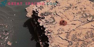
The rover team is going to conduct additional tests and think through all the maneuvers before moving on. Recall that in 2016 when mining a sample of rock there was a problem that stopped the drill. The engine is now unreliable.

